Un paysage culturel de l'agropastoralisme méditerranéen
Le territoire des Causses et des Cévennes a été inscrit sur la Liste du patrimoine mondial de l’humanité, car il représente un témoignage et un exemple exceptionnel de la culture agropastorale méditerranéenne et des savoir-faire qui lui sont associés.
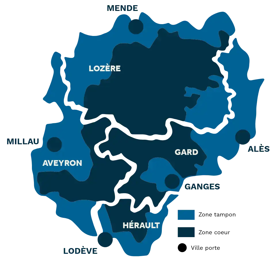
Ce paysage culturel, façonné depuis des millénaires par l’activité agropastorale, constitue un large territoire de plus de 3 000 km² situé au sud du Massif-Central en région Occitanie et à la croisée de 4 départements : l’Aveyron, le Gard, l’Hérault et la Lozère.

22 000 habitants

1 400 exploitations agricoles
Essentiellement en élevage

3 000 km² inscrits
50% de surface agricole dont 80% de surface pastorale

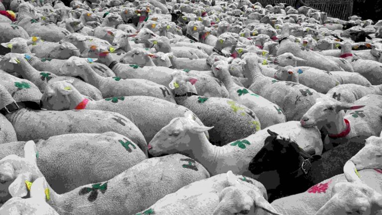
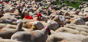
167 000 animaux d'élevage
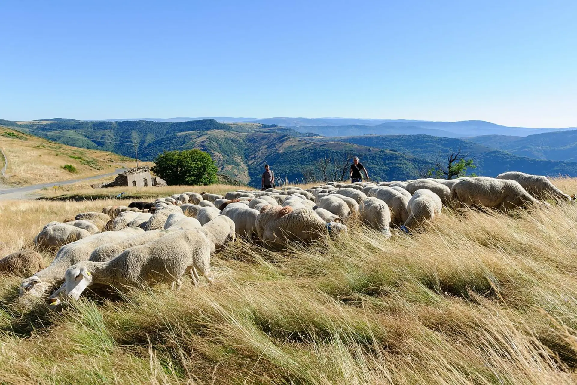
Brebis, ovins, caprins et bovins
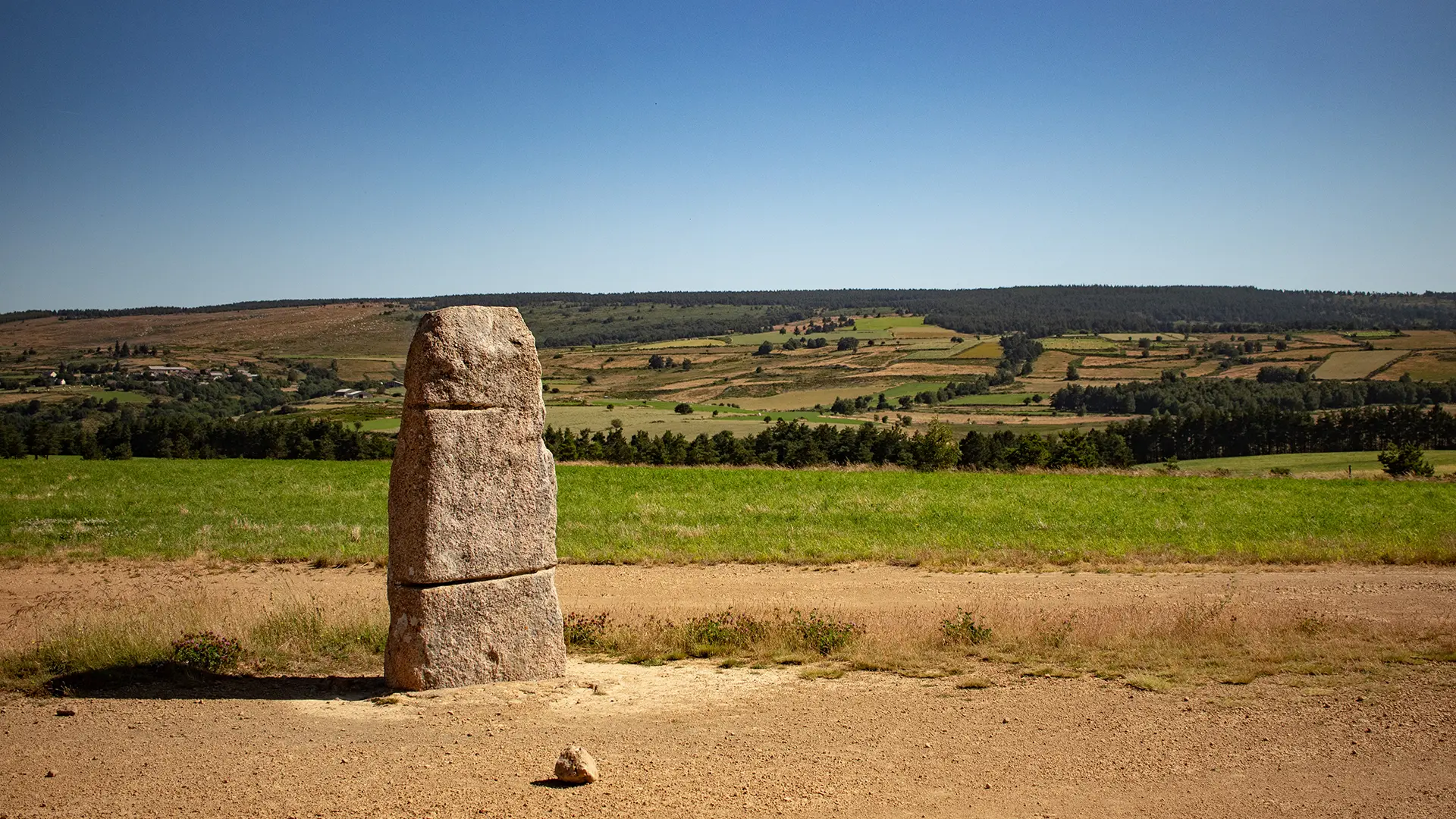
Une histoire millénaire
Depuis des millénaires, l'activité agropastorale sédentaire ou transhumante, ovine, bovine ou caprine, permet aux hommes de vivre sur ce territoire, de maintenir de vastes espaces ouverts pour le pâturage des troupeaux et de façonner des paysages identitaires et emblématiques.
En effet, le paysage actuel est le résultat des organisations agropastorales successives dont il en conserve encore les nombreuses traces.
Dès le néolithique
Les recherches archéologiques démontrent que dès le néolithique moyen (5 000 à 2 500 av. JC) les Causses et les Cévennes furent parcourus par des populations qui pratiquaient notamment l’élevage.
Au moyen âge
Les ordres religieux et les seigneuries renforcent et intensifient l'organisation pastorale du territoire. Leur influence marque durablement les paysages en particulier sur les grands causses.
Aujourd'hui
Malgré des crises successives, la vocation agropastorale du territoire s'est maintenue et retrouve même un sens nouveau face aux préoccupations actuelles. La longue histoire des paysages agropastoraux des Causses et des Cévennes devient un héritage culturel à préserver et transmettre pour l'ensemble de l'humanité.
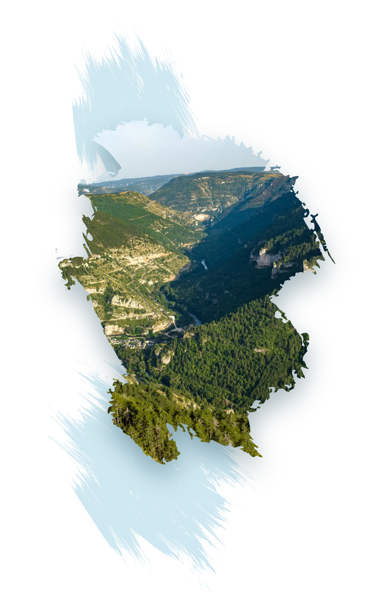
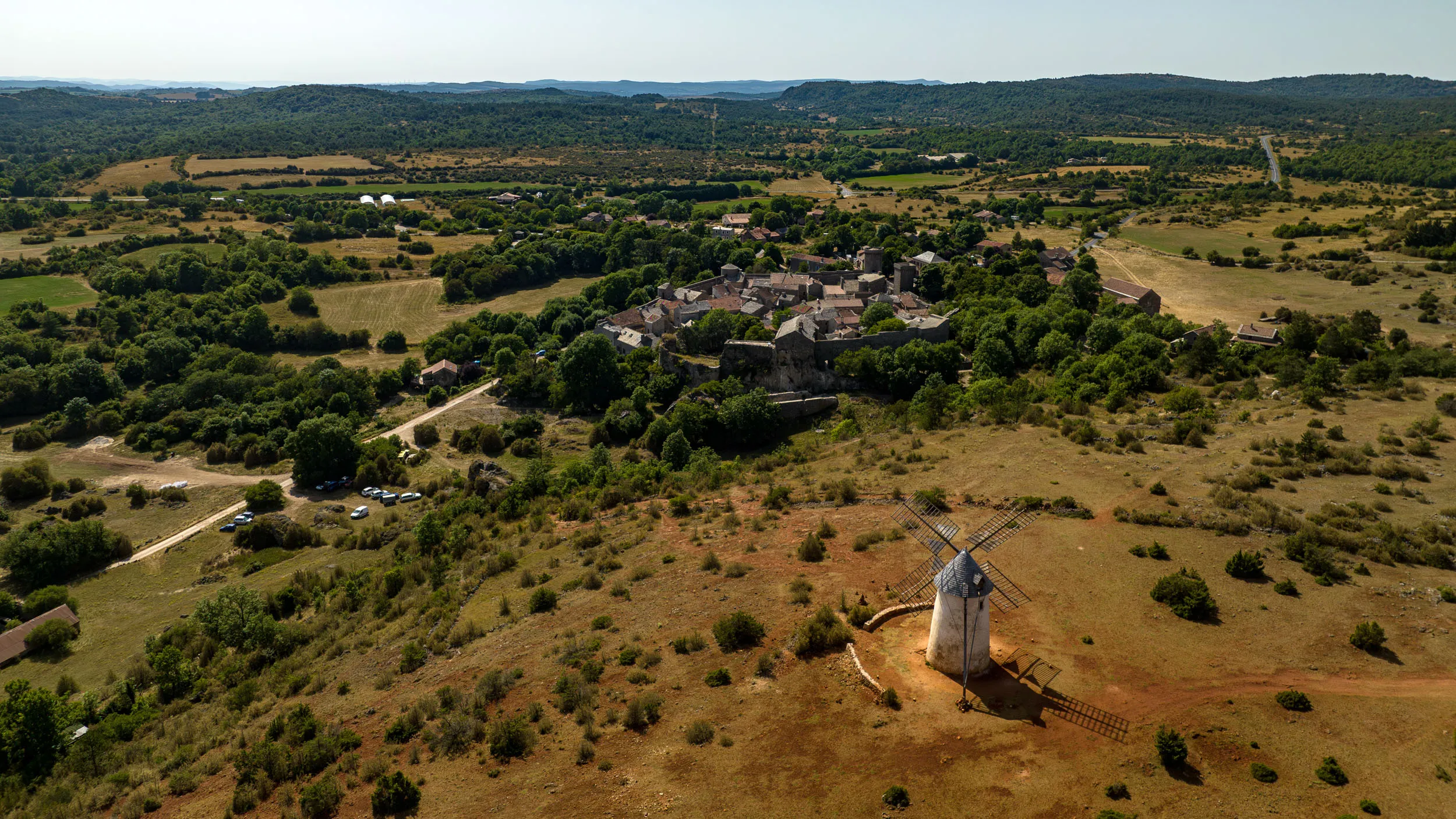
Des Causses
Larges plateaux
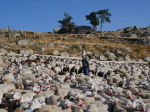
Les grands causses représentent d'importants plateaux calcaires s'étendant entre 800 et 1 200 mètres d'altitude, découpés par d'étroites gorges. Ces espaces emblématiques et identitaires des causses sont largement dédiés à l'élevage ovin, offrant des étendues pastorales d'apparence steppique où la pierre prédomine. Les zones cultivées se concentrent principalement dans les dolines, de petites dépressions argileuses fertiles aux contours arrondis. L'absence d'eau en surface a conduit à la création d'un patrimoine ingénieux et unique dédié à la gestion de cette ressource précieuse.
En savoir plus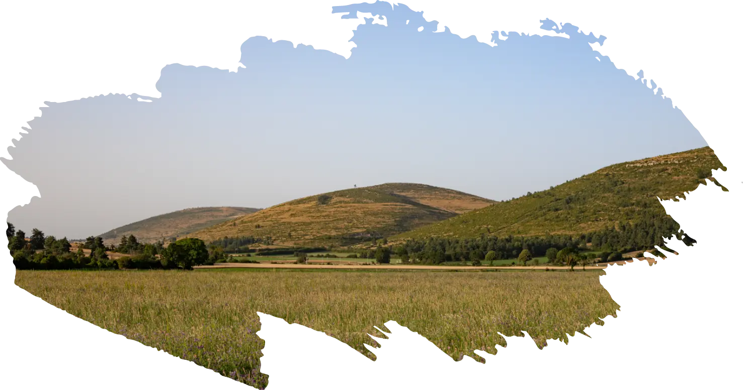
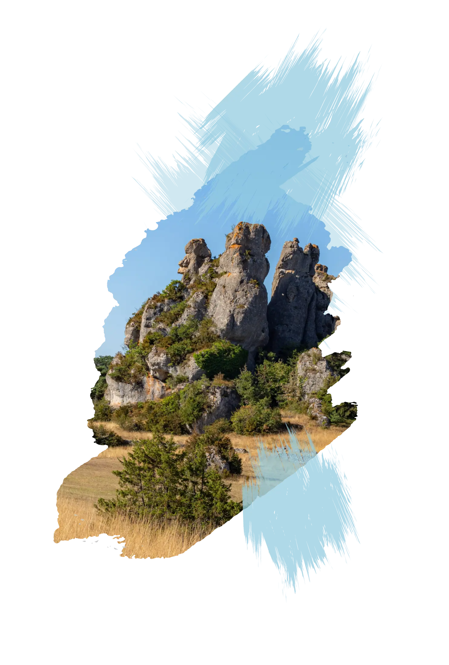
Deux paysages, une culture
La nature de ce paysage culturel est étroitement liée aux activités pastorales extensives qui permettent de maintenir des milieux ouverts, en particulier les pelouses d'allure steppique des causses calcaires, les pelouses d’altitude situées entre 1 300 mètres et 1 700 mètres sur les monts granitiques et les landes à callune typique des Cévennes schisteuses. Le caractère emblématique de ces milieux s’exprime par l’étendue, la monumentalité et la profondeur des vues qu’ils ouvrent ; mais aussi par leur richesse biologique et par la présence de nombreux éléments architecturaux témoignant des pratiques et traditions pastorales. Ils illustrent particulièrement l’évolution de la société et de l’établissement humain au cours des âges, sous l’influence de contraintes environnementales difficiles.
En savoir plus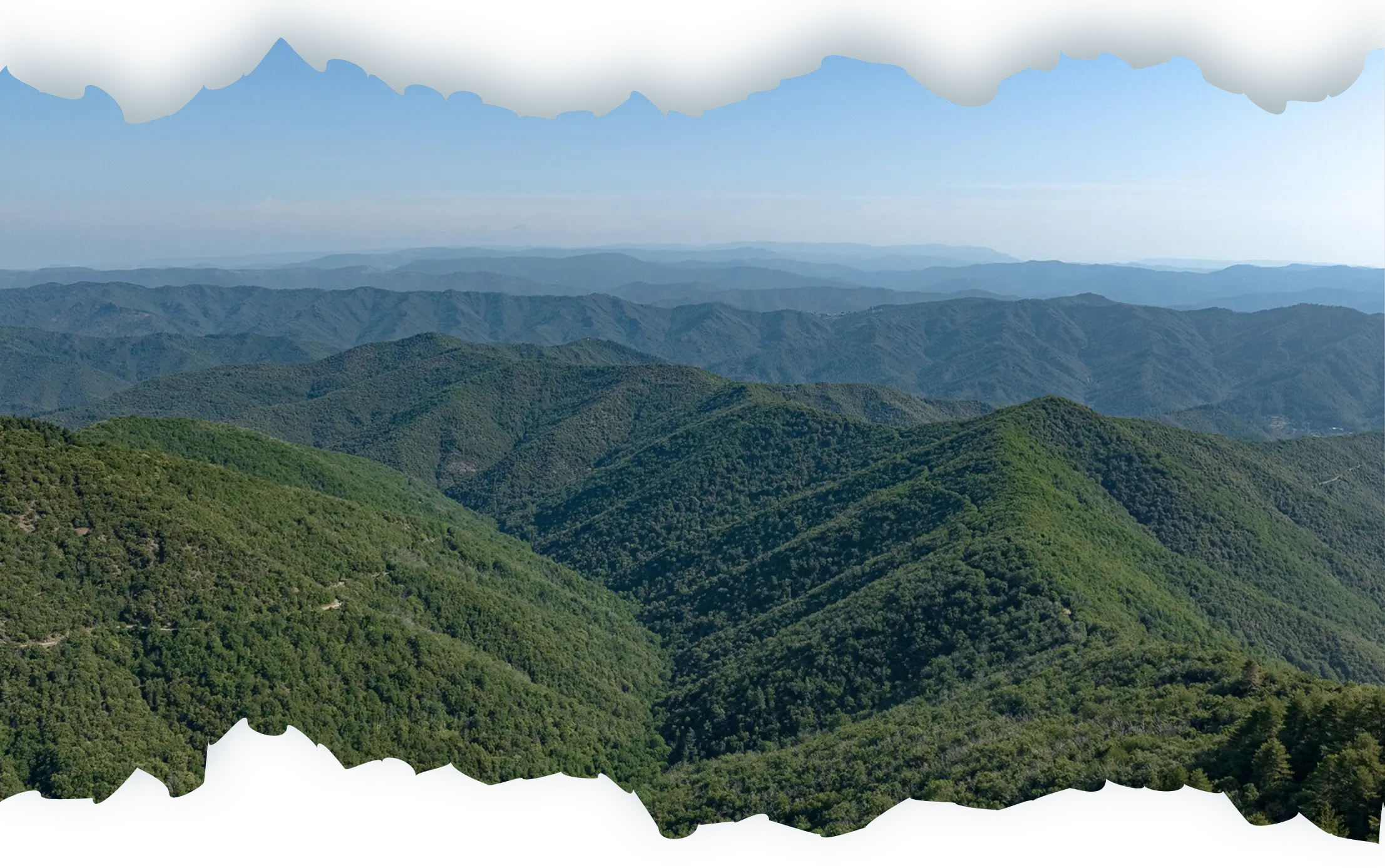
Aux Cévennes
Crêtes et vallées
Les Cévennes, principalement schisteuses, constituent un réseau étroit et encaissé de vallées et de crêtes, s'élevant de 300 à 900 mètres. L'élevage, omniprésent, partagé entre les brebis et les chèvres, tire profit des milieux forestiers, notamment pour leur ombrage et leurs ressources fruitières (glands, châtaignes).
En savoir plus